Pakistan
PM to launch Islamabad’s digitalized land record, cadastral map
Islamabad: Prime Minister Imran Khan will launch the cadastral map of Islamabad today (September 8) in a bid to curb land record tampering, ensure monitoring of construction through imagery and provide information about land ownership on a single click.

The cadastral mapping project has been conceived and inspired by vision of the Prime Minister to modernize the old "Patwar system" into modernized digital online system.
The phase-I comprises of digitization of revenue record of three major cities including Karachi, Lahore and Islamabad and state land data of the country.
By using Geographical Information System, survey of Pakistan has completed Islamabad Capital Territory digitalization.
This will also help overseas Pakistani to verify online information before purchase of land in capital system.
The new system would also help identify the illicit hinging of state land, encroachment at nullah and forests
A cadastral map, however, is a comprehensive land recording of the real estate or real property's metes-and-bounds of a country.
In most countries, legal systems have developed around the original administrative systems and use the cadastre to define the dimensions and location of land parcels described in legal documentation


Expanded, rebranded National Women's One-Day tournament to start tomorrow

Heavy rains in UAE, flight schedule affected

36 cases against Fawad: IG informs court

ECP announces to repoll on PB-51 by April 21

Mohsin Naqvi favors to tighten laws regarding social media usage

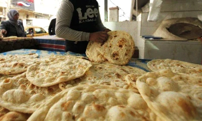
Nanbias apprehended in Rawalpindi amid selling roti on high prices

Winter activity and political turmoil!

Government, opposition and public!

Present regime and dengue!

The repetition of history and the hidden sciences!

"Don't panic!"

Whispers, rumors and rulers' narrative!

LIVE | Chairman PTI Barrister Gohar Media Talk | GNN

Big Decision In Important Meeting | News Headlines | 04 PM | 16 April 2024 | GNN

LIVE | PTI Leaders Important Press Conference | GNN

CM KP Ali Amin Gandapur Gave Good News Regarding Imran Khan | Breaking News | GNN

New Twist In Cipher Case | Breaking News | GNN

Hamid Mir Emotional Speech in Favor of Israel | Hamid Mir Speech Going Viral | Iran Israel Conflict
-

 Business 7 hours ago
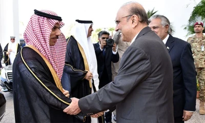
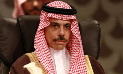
Saudi delegation to meet apex committee of SIFC today
-

 Technology 1 day ago
Smart string light showdown: Nanoleaf versus Lifx
-

 Pakistan 1 day ago
Bus, Railway stations bustle as passengers return to cities after Eid vacations
-
 Pakistan 1 day ago
High-level delegation led by Saudi Foreign Minister to arrive in Pakistan tomorrow
-
 Pakistan 1 day ago
Nanbais rejects cut in naan, roti prices
-
 Pakistan 1 day ago
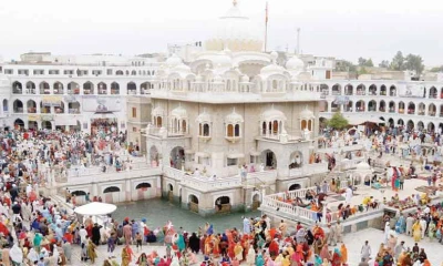
President, PM express commitment to provide all facilities to Sikh Yatrees
-

 Sports 2 days ago
Sources: Bad Bunny-led agency faces sanctions
-

 Pakistan 1 day ago
Imran Khan's interim bail extended in three cases